

 Image 1 of 2
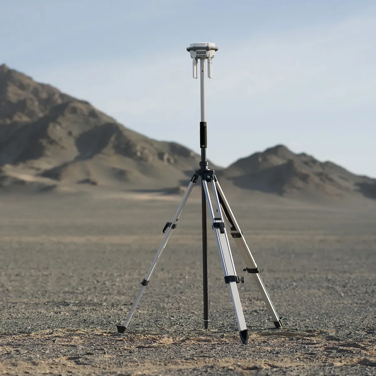 Image 2 of 2
Deploy RTK equipment quickly and securely.
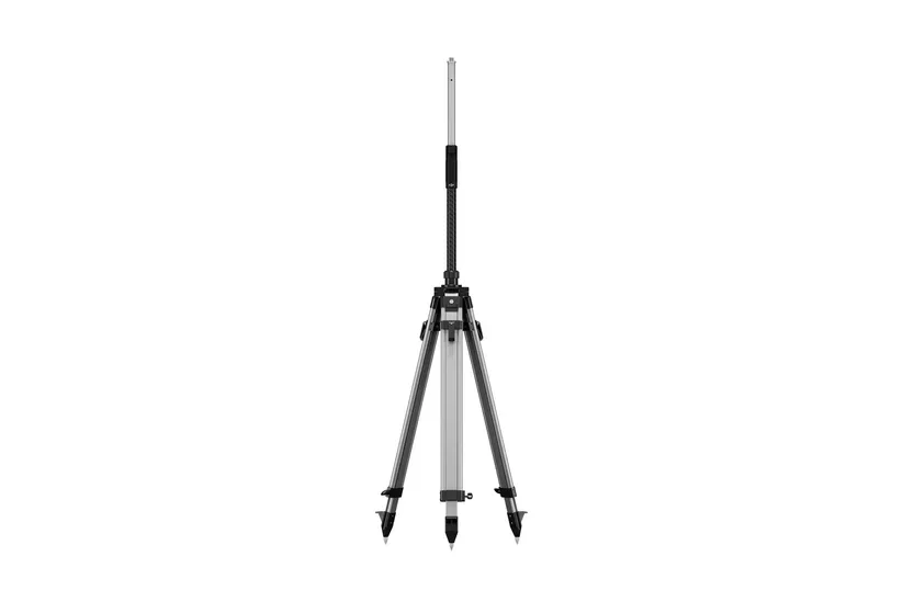
Secure mounting for the DJI D-RTK 3
Stable survey pole and tripod design
Reliable satellite signal reception
Reduced measurement errors
Ideal for outdoor fieldwork in surveying, construction, and infrastructure projects.
Ensure high-quality data collection for mapping and modeling.
Collect precise ground control points (GCPs)
Improve orthomosaic and 3D model accuracy
Enhance topographic and engineering survey data
Perfect for UAV mapping, land development, and GIS applications.
Move efficiently between measurement points or set up temporary base stations.
Lightweight and durable kit for outdoor environments
Tripod for long-term stable measurements
Survey pole for mobile point collection
Quick deployment for fast-paced projects
Supports professionals in maximizing productivity and measurement accuracy.
Deploy RTK equipment quickly and securely.
Secure mounting for the DJI D-RTK 3
Stable survey pole and tripod design
Reliable satellite signal reception
Reduced measurement errors
Ideal for outdoor fieldwork in surveying, construction, and infrastructure projects.
Ensure high-quality data collection for mapping and modeling.
Collect precise ground control points (GCPs)
Improve orthomosaic and 3D model accuracy
Enhance topographic and engineering survey data
Perfect for UAV mapping, land development, and GIS applications.
Move efficiently between measurement points or set up temporary base stations.
Lightweight and durable kit for outdoor environments
Tripod for long-term stable measurements
Survey pole for mobile point collection
Quick deployment for fast-paced projects
Supports professionals in maximizing productivity and measurement accuracy.