See Through, Far and True.
The DJI Zenmuse L3 is DJI's first long-range, high-accuracy aerial LiDAR system. Compatible exclusively with the DJI Matrice 400.
Laser System
1535 nm Class 1 eye-safe laser. Adjustable pulse rate from 100 kHz to 2 MHz. Up to 16 returns at 100 kHz and 350 kHz pulse rates, 8 returns at 1 MHz, and 4 returns at 2 MHz. Beam divergence of 0.25 mrad produces a laser spot approximately one-fifth the size of the L2 at the same range.
Detection Range
Up to 3,117 ft at 10% reflectivity (100 kHz). Up to 2,297 ft at 10% reflectivity (350 kHz). Up to 6,562 ft at 80% reflectivity (100 kHz).
Accuracy
Typical accuracy of 2 to 4 cm. Vertical accuracy of 3 cm at 394 ft altitude, 5 cm at 984 ft, and 10 cm at 1,640 ft.
Imaging
Dual 100 MP Micro Four Thirds CMOS imagers. 107° field of view. Mechanical shutter. Ground sampling distance of 1.2 cm at 394 ft AGL and 3 cm at 984 ft AGL.
Survey Throughput
Up to 3.86 sq mi per flight. Up to 38.6 sq mi per day on the Matrice 400.
Scanning Modes
Linear scan. Star-Shaped scan. Non-Repetitive scan.
Physical
Weight: 3.53 lb (without gimbal connector). Dimensions: 7.56 x 6.38 x 7.95 in. IP54 protection rating. Operating temperature -13°F to 131°F.
Compatibility
Compatible only with the DJI Matrice 400. Not compatible with the M300 RTK or M350 RTK. Not interchangeable with L2 or P1 mounts.
Software
DJI Terra (free LiDAR reconstruction, PPK, Gaussian Splatting), DJI Modify (point cloud classification and editing), DJI FlightHub 2 (cloud mission management), DJI Pilot 2 (flight operations), and Terrasolid (third-party).
Use Cases
Power line and tower inspection at centimeter-level precision. Open-pit mine surveying with volume and depth calculations to depths over 2,720 ft. Forestry and vegetation mapping with ground points beneath dense canopy. Topographic and engineering mapping at 1:500, 1:1000, and 1:2000 scales. Archaeological documentation. Geological hazard monitoring including landslides and erosion. Urban planning and digital twin creation. Structural inspection of bridges, dams, and steel frameworks. Emergency response mapping.
 Image 1 of 11
 Image 2 of 11
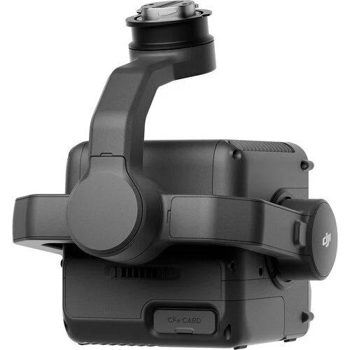 Image 3 of 11
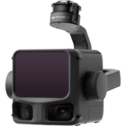 Image 4 of 11
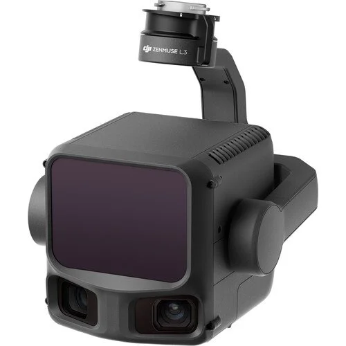 Image 5 of 11
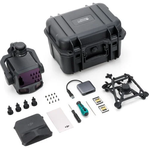 Image 6 of 11
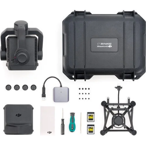 Image 7 of 11
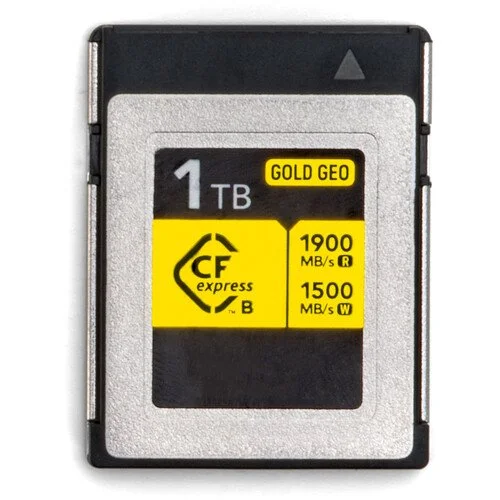 Image 8 of 11
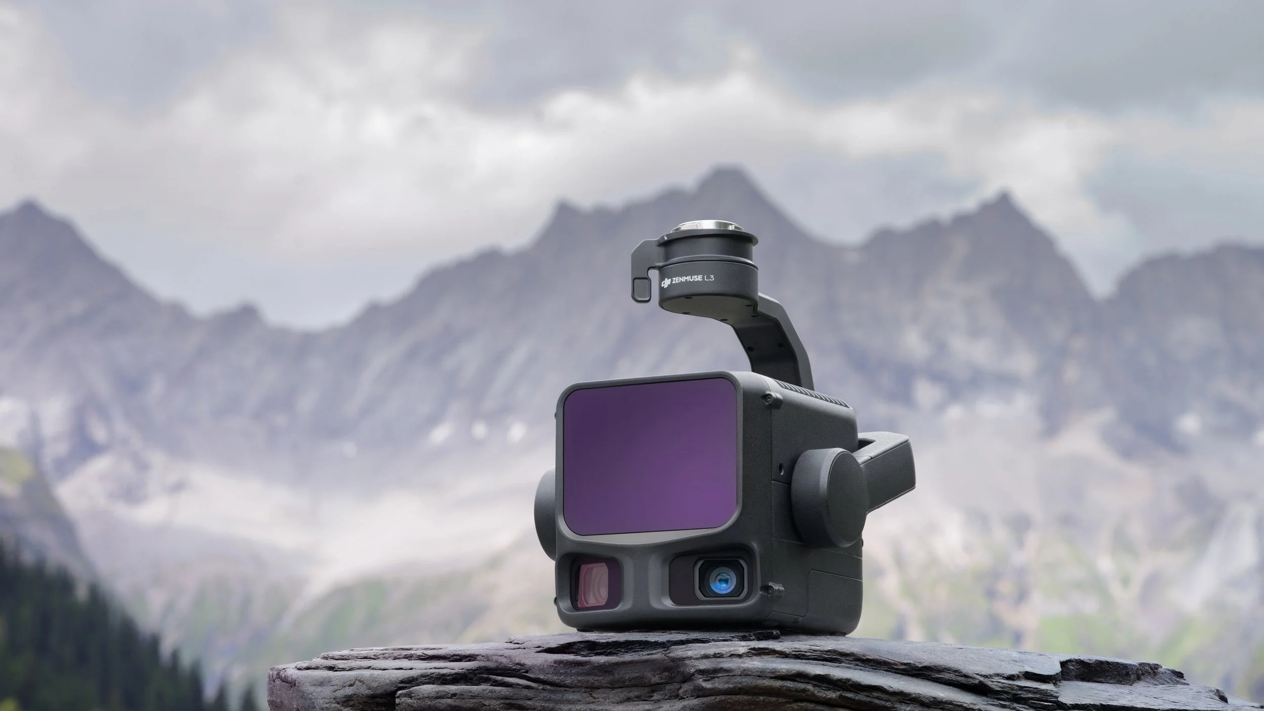 Image 9 of 11
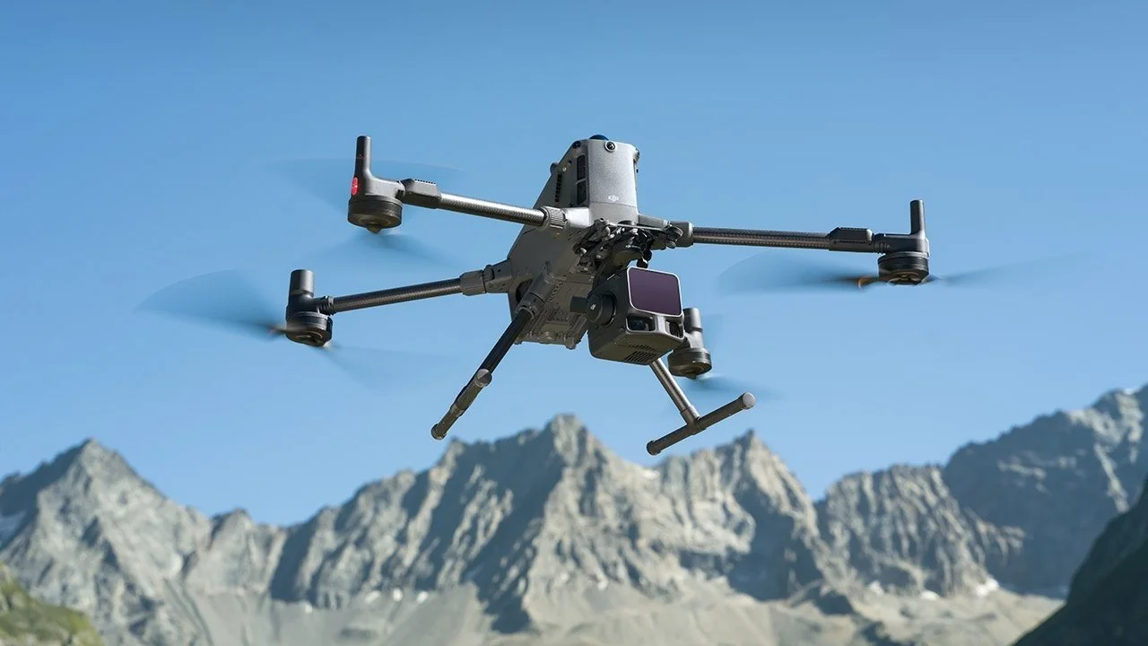 Image 10 of 11
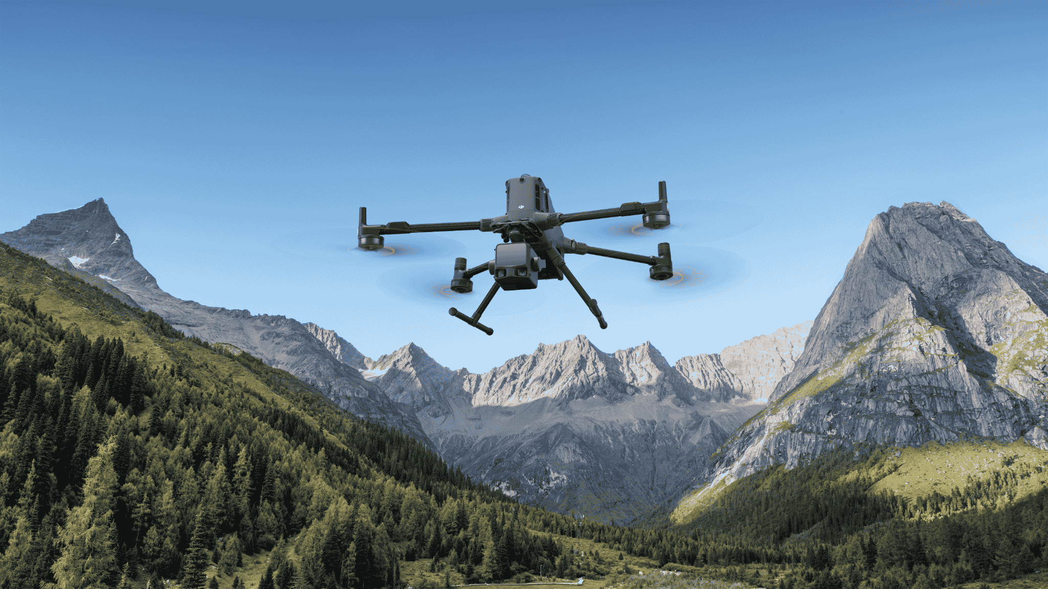 Image 11 of 11